

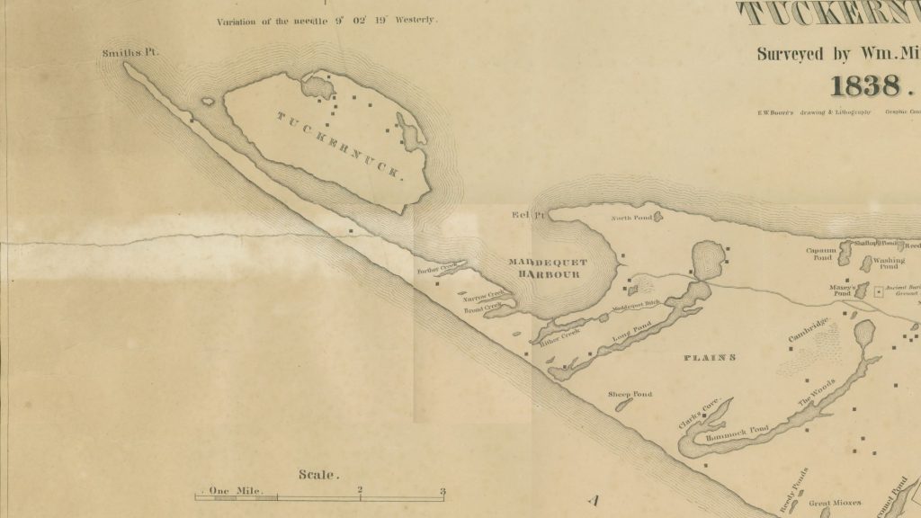
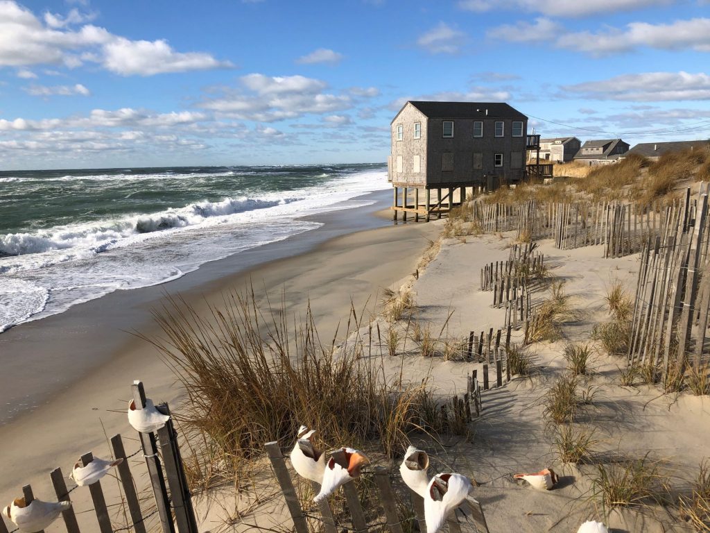
Smith’s Point, the far western end of Madaket over Millie’s Bridge across Hither Creek, feels like a remnant of a former Nantucket. Although it is unclear how the Point got its name, the Wampanoag called this area Nopque, meaning landing place. In A Natural History of Nantucket, Peter Brace describes Smith’s Point “all outwash sand deposits held in place by American beach grass and some snow fencing,” and his part of the island is particularly shaped by eroding waves and winds. Historic maps show the Point used to extend all the way to Tuckernuck, and until 1869 Nantucketers could drive cattle and other livestock across Smith’s Point to Tuckernuck at low tide. In 1961, Hurricane Esther opened up a break in the point, and the resulting Esther Island remained severed from the rest of Nantucket until accreting sand re-connected it in 1986. More recently, in 2016, a winter storm took much of the beach away and turned Maine Avenue into a dead-end street.
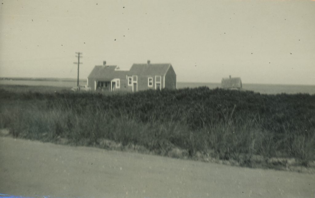
The Point has long been known for its excellent fishing, but few dwellings were constructed here, outside of a handful of fishing shacks and modest homes along Hither Creek. In the 1910s, Otis Emerson Dunham, owner of several hundred acres in Madaket, contracted with the Massachusetts Coastal Company to develop a subdivision he called “Maddequet Terrace,” including much of Smith’s Point. Though there was an early frenzy of buying, little development followed, and by 1920, many of the parcels were forfeited to the Town of Nantucket for delinquent tax benefits. For others, however, the ease of travel brought on by the introduction of the automobile to Nantucket inspired the building of simple cottages near the beaches of Smith’s Point.
One of the oldest buildings on Smith’s Point is the Eel Skin Inn at 9 Maine Avenue. It was originally constructed next to the Hither Creek Boat Yard circa 1910. It served as a shack for eel fisherman and others to skin their catch after a day’s fishing. It was also, apocryphally, a rumrunner’s shack during Prohibition. It was moved to its present site on Maine Ave in 1975 by Tom Lazor, also known as Colonel Bat Guano. A small addition was put on following the Inn’s move across Hither Creek, but the structure’s historic character is defined by its low roof profile and varied fenestration.
Another one of Smith’s Point’s oldest homes is the iconic Crooked House, noted in Building with Nantucket in Mind as “a delightful example of additive massing.” It was built along Massachusetts Avenue before 1938. It was owned by Henry Coffin, who together with his wife Anna owned many parcels in Smith’s Point. It’s most notable summer resident, however, was Fred Rogers. After first renting the cottage in the summer of 1960, he and his wife Joanne received the house as a Christmas present from his parents, James and Nancy Rogers, and spent decades visiting each summer.
Just up the street from Crooked House is 23 Massachusetts Ave, a quintessential Madaket fishing cottage. The property was also once owned by Henry and Anna Coffin, who sold it to Mary B. Gardner in 1935. The cottage was built shortly thereafter and still retains its simplicity and charm.
The eclectic mix of early fishing shacks, cottages and ranch-style houses built between the 1910s and 1940s, and more angular, mid-century homes on Smith’s Point are unified by their integration into the landscape, materials, and generally unpretentious scale and massing. As development pressures increase, care must be taken to ensure the Point retains its unique character.