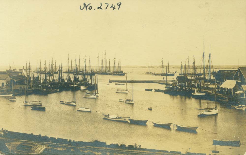
Winter on Nantucket means punishing winds, high tides, and storm surges. Many of the low-lying areas of Nantucket town experience flooding during storm events. What do these flooding events mean for our historic structures? What can we do today, and how can we plan for the future?
This June 27-28, we hope you’ll join Preservation Institute Nantucket, Nantucket Preservation Trust, and the Town of Nantucket for a two-day symposium entitled Keeping History Above Water: Nantucket, in collaboration with the Newport Restoration Foundation. We’re building on the important foundational work started in Newport. Click here to read more about Newport Restoration Foundation and past Keeping History Above Water events.
In the months leading up to the symposium, we’ll feature different topics related to sea level rise and historic preservation. Since we’re in the middle of winter and severe weather concerns are on the mind, we thought we’d kick off this series by looking at flooding on Nantucket throughout history.
We combed through the archives of the Inquirer and Mirror to see how flooding has affected Nantucket since the 1890s. Read on to learn more…
1890
February: “On the petition of the Nantucket Railroad for leave to move its track back 1,000 feet from the beach, to better protect it from damage by ocean storms, the committee on railroads were addressed by SK Hamilton, Esq. for the Railroad Co. There was no objection to the prayers of the petitioners, and a bill will be reported.”
1896
October: “The harbor was lashed into seething foam, and at flood tide in the afternoon the waves were breaking savagely across the wharves. Small boats in the docks and vessels moored at the piers tugged and strained at heir fastenings, and in one or two instances prompt work was necessary to save some of the small craft from damage. Many ladies braved the blast to view the wild turmoil of the waters. Brant Point was flooded, and was passable to pedestrians only as far down as the corner of Easton and Beach streets, the street below being completely submerged…”
December: “The partially complete bulkhead, belonging to Captain John Killen, connecting the Straight Wharf with Old North Wharf, was torn up and drive in alongside the wharf.”
1898
December: “To particularize in detail the damage wrought by the storm would be impossible…”
“The railroad bed across the Steamboat dock and on the marsh, likewise the car house on South Beach, are damaged by the waves.”
“All along the southern and eastern seaboard a tremendous surf rolled in, one of the highest ever known. It broke into all the ponds along the shore and swept across the beach at Wauwinet and into the inner harbor, surrounding at times and threatening to engulf the chapel and several summer cottages.”
1910
January: “…it experienced a phenomenal high tide, which submerged the wharves, flooded the streets and property near the water front, and made things somewhat lively for a while.”
“The tide rose to a height not known for many years, and shortly before noon on Sunday the sight witnessed along the water front called many of our citizens from their homes to view the unusual conditions.”
“Brant Point was completely submerged.”
“The view of the point, covered with water all the way from the cliff beach bath-houses to the inner shore of the harbor, was a sight that has not been witnessed before for many years.”
1915
February: “A large crowd of skaters were in evidence Sunday afternoon, on the meadows at Brant Point, which had been flooded with water since the high tide of the 13th [of January] and were frozen over by the cold snap of Friday and Saturday.”
1922
September: “The Brant Point meadows were flooded; the bathing beach road was transformed into a river; residents had to wade in order to reach their cottage; all of the low sections were under water.”
“But the memory of man is fickle, for it happened that August in the year 1889 knocked this year’s record all to smithereens, for that month showed a total of 11.05 inches, 5.00 inches of which fell in twenty-four hours. If you keep a diary, just look back to August 1889, and you will see that August in that summer was far ahead of this one in rainfall.”
1927
August: “A number of cars were stalled in the water which flooded Brant Point Road in places; and all over town car owners were having trouble in getting their machines to percolate properly, as the water found its way under the hoods and caused trouble regardless of the make.”
Next week, we’ll look at 1930 to the present. Do you have memories of flooding on Brant Point or other areas of town? Please email us at info@nantucketpreservation.org and let us know if we can use your recollections for our blog and archives.


