

On June 11, the Historic District Commission voted to adopt new guidelines for building adaptation, Resilient Nantucket: Flooding Adaptation & Building Elevation Design Guidelines. In the following article, originally published in Ramblings, Lisa Craig and Phil Thomason, lead consultants on the Resilient Nantucket project, explain its goals.
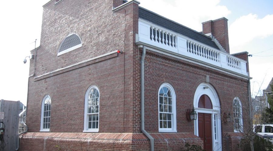
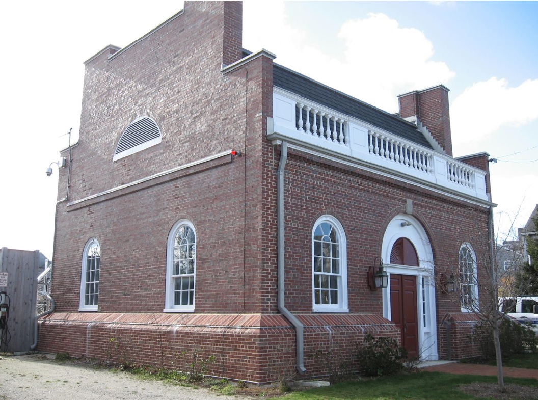
As one of the oldest and largest National Historic Landmark (NHL) districts in the United States, the island of Nantucket fosters a strong regard for the protection and preservation of historic places. Historic preservation in Nantucket promotes tourism, strengthens the local economy, protects the town and surrounding area’s historic character, and fosters community investment in protecting Nantucket’s historic identity. That identity was clearly articulated in the 2013 update to the NHL designation, which not only extended the NHL’s period of significance to 1975 to encompass the pioneering work of Walter Beinecke, but also recognized the island’s national role in the evolution of land conservation and historic preservation.
It’s therefore no surprise that the Town of Nantucket, through its Nantucket Historical Commission, Historic District Commission, and Department of Planning and Land Use Services has partnered with community organizations to address the 21st century challenge of sea level rise and flooding, which have increased both in frequency and in scope in the last two decades.
The Town’s 2019 Massachusetts Municipal Vulnerability Preparedness (MVP) Community Resilience Building Workshop and Report recognized the need to adapt historic resources to climate impacts as missing from climate change planning. Thus, in both the MVP Workshop Report and the 2019 update to the Hazard Mitigation Plan, the preservation of historic and cultural resources in response to flooding and sea-level rise became a priority for investigation and action.
The following year, the Town and Preservation Institute Nantucket launched a project: Resilient Nantucket: 3D Digital Documentation and Sea Level Rise Visualization. The project used LiDAR scanning to digitally document the core of Nantucket Town, its waterfront, and Brant Point. That work was complemented by a community workshop, Keeping History Above Water: Nantucket, which identified community values and priorities for historic property adaptation and the need for design guidance.
Now developed and presented through numerous public meetings to Nantucket residents and property owners, the Resilient Nantucket: Flooding Adaptation & Building Elevation Design Guidelines (Resilient Nantucket Design Guidelines) joins a range of other planning and mitigation documents which together provide a unified approach for protecting Nantucket’s resources from natural disasters.
The guidelines were drafted by leading preservation consulting firm, Thomason and Associates, with the assistance of The Craig Group. These design guidelines are likely the first in the nation to fully model the newly issued guidance from the National Park Service whose publication, Guidelines on Flood Adaptation for Rehabilitation Historic Buildings, now provides formal guidance to inform the decisions of historic district commissions when considering flooding adaptation designs.
The Resilient Nantucket Design Guidelines are prepared with photographs and descriptions that document Nantucket’s existing historic character, in particular, building styles, materials, design details and streetscapes, that define Nantucket’s character. They serve as a supplement to the HDC guidebook Building with Nantucket in Mind and provide current thinking on adapting properties to accommodate climate-driven change by elevating and “hardening” historic properties while still retaining overall architectural integrity.In addition, the Guidelines recommend design considerations for new construction within the historic districts that address flood risk, yet do not detract from the character of historic residential and commercial areas. This is done in a “user-friendly” by including photos and illustrations of best practices in flooding adaptation as approved by FEMA and consistent with the NPS guidance. Included are illustrated examples of how Nantucket buildings and sites can be retrofitted to accommodate flood mitigation and adaptation alterations ranging from temporary barriers, nature-based approaches, dry and wet floodproofing strategies, and even elevation and relocation.
Lisa Craig is Principal with The Craig Group, a preservation consulting firm specializing in resilience planning for historic coastal communities. Phil Thomason is Principal with Thomason & Associates, LLC with significant experience in preservation planning and design guideline development, most recently focusing on elevation guidance for historic coastal & riverine communities.